Landing region of the Spirit mission
This page presents images of the regions around the Gusev crater. A prominent feature is the sinuous Ma'adim Vallis, which runs to the south of Gusev.
For the sake of these renderings, surface water has been included in the scene files.
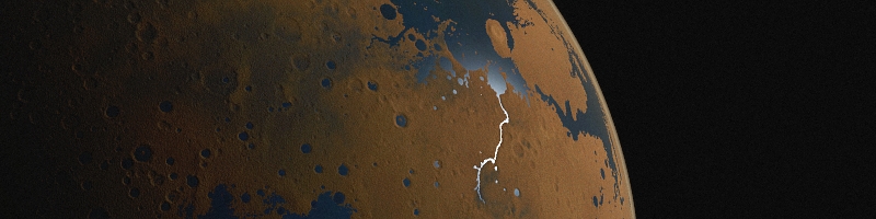
A wide-field, orbital view, showing sunlight glinting off water in Ma'adim Vallis. Gusev is the nearly-complete circular formation at the top of Ma'adim Vallis (114kb)
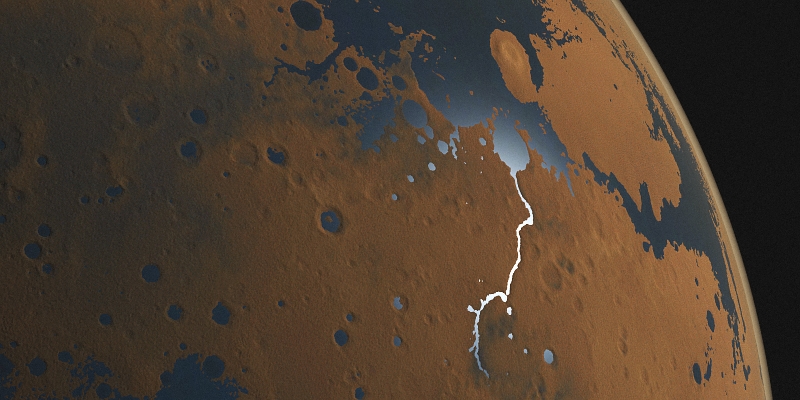
Similar scene, presented at a different aspect ratio (240kb)
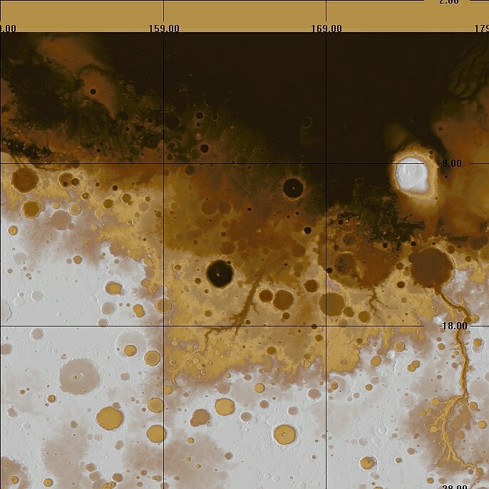
A map showing the general area- Ma'adim Vallis and Gusev are to the right of the map; grid markings are degrees of Martian latitude and longitude. Elevations have been colour-coded in order to bring out variations along and near these features- the colours are not true surface colours. Map produced using 3DEM, with MOLA data from NASA (89k)
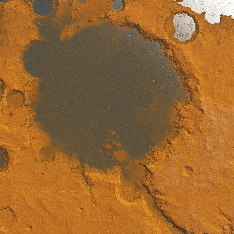
A perspective view of Gusev, from the north-east. Again, the colours correspond to different elevations. The vertical exaggeration is 100%, i.e. at the correct scale. The centre of the proposed landing ellipse lies just above the centre of the crater in this view (71k)
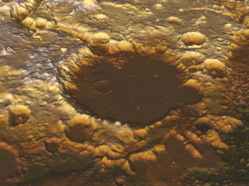
Same view, but with the vertical exaggeration at 600% in order to show features on the crater floor (121k)

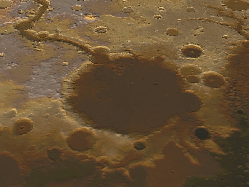
The southern end of Ma'adim Vallis- perhaps near the head, or source, of that feature if one considers it as a watercourse (67k)
A flooded view, via Terragen; MOLA data viewed with NASA's NASAview, saved as a GIF, cropped using IrfanView, then saved as a bitmap, and loaded into Terragen using the Firmament plug-in. On close inspection, there is some "terracing" in the terrain; much of this is an artefact of the above process (128k)